Point Clouds Uncovered: The Key to Precise 3D Mapping and Design
Ever wanted to know how to create 3D digital models of real-world objects? Point clouds hold the answer. With extreme accuracy, they record 3D shapes, transforming fields from architecture to robotics.

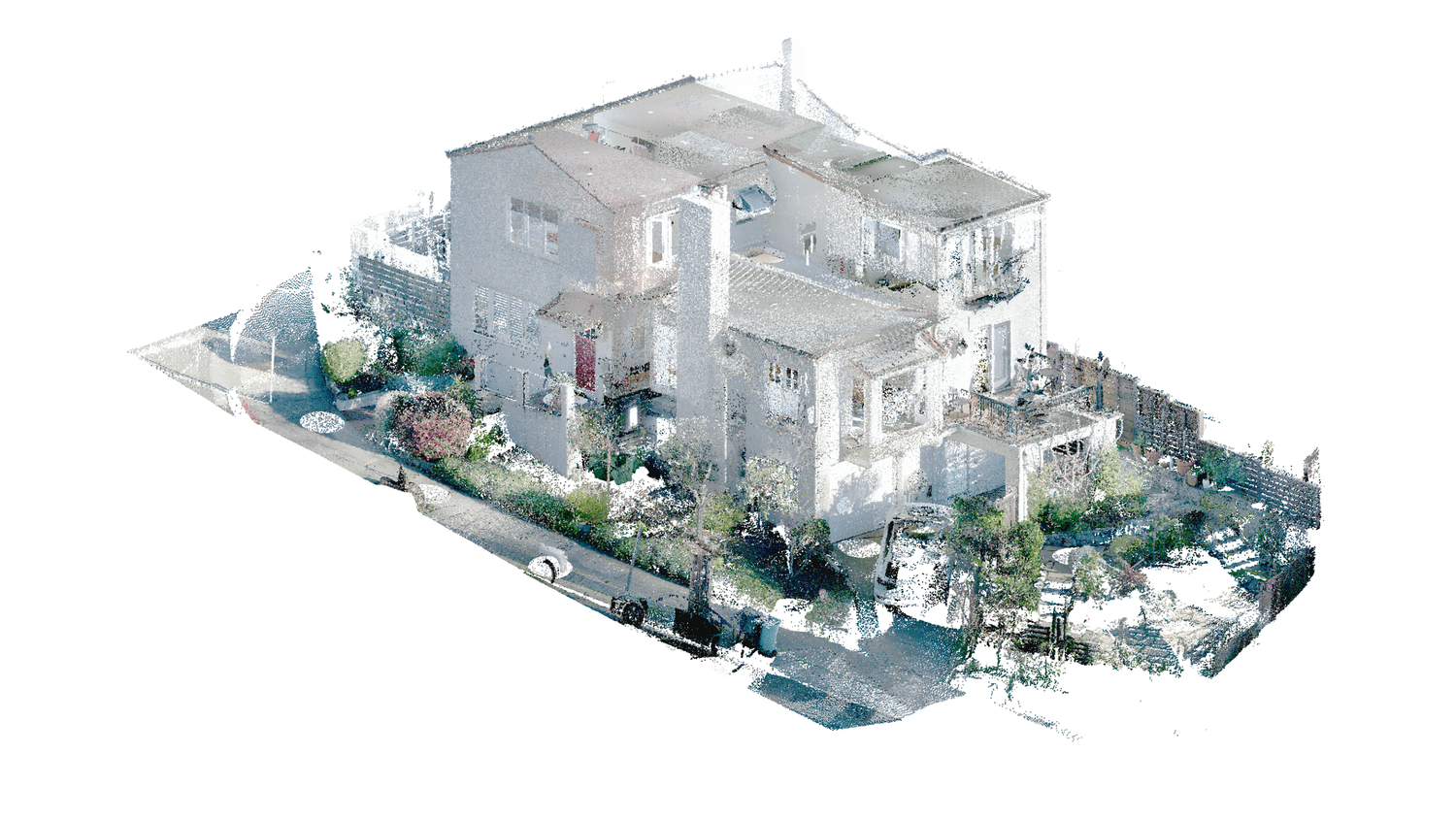
Point cloud data is a set of individual 3D points in space, or a cloud of points, with each point representing an exact coordinate in space. These points collectively create a dense 3D point cloud representing physical objects and environments. This data can be used to model large geographical areas, complex terrains, architectural structures, and much more.
Now imagine a point cloud that captures detailed urban features like buildings and trees. Each point in this cloud represents a specific position on these buildings. This data is used for a variety of things. It also aids in modeling complex urban landscapes and has found application in medical imaging to model volumetric data.
The density of point clouds is a crucial factor that affects the detail and visibility of structures within the model. Only by being precise with coordinates can we map real-world objects faithfully. This level of precision is necessary for any reliable analysis or model.
How Point Clouds Are Generated
Point clouds are created with a dynamic mix of the latest technologies, with laser scanning and photogrammetry at the forefront. These techniques produce an accurate, photorealistic 3D model of environments. This ability makes it invaluable for use in projects for architectural modeling and digital terrain modeling. Georeferencing is critical in this capacity, as it maintains the integrity and trustworthiness of this data.
Laser Scanning Techniques
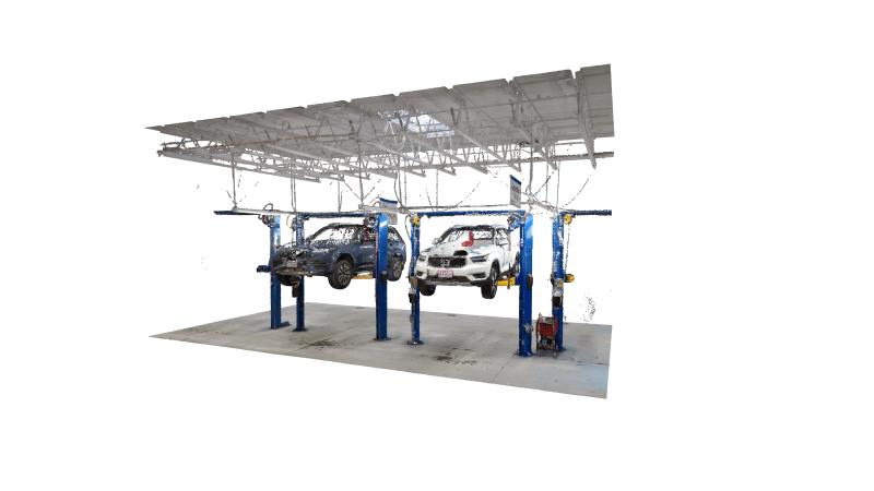
Laser scanning, specifically LiDAR technology, is at the cutting edge of point cloud generation. When employing LiDAR, these high-density point clouds are created by measuring the return of bounces of light. This approach records millions of data points per second, providing a fast, accurate 3D scan of environments.
LiDAR scanners generally use Time of Flight (ToF) cameras, which use light pulses to collect spatial information. Vertical channels of the LiDAR system also play a crucial role in affecting the density and detail of the resulting point cloud. This, in turn, improves the accuracy of Digital Elevation Models.
Photogrammetry Methods
Photogrammetry goes down a different path – one where we use the photographs we took to calculate 3D measurements from them. Triangulating the image points from many different images, it creates detailed point clouds. Drones are central to this process, allowing for more imagery to be captured over larger areas in a fraction of the time.
This approach is extremely valuable for large-scale, regional projects where having the most detailed geographic information is critical.
Applications of Point Clouds

Use in Architecture and Construction
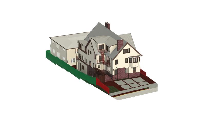
Further, point clouds have become invaluable tools for architects. They’re also crucial in creating precise building models since they allow every aspect to be captured with pinpoint accuracy. This provides certainty that the designs are an accurate representation of real-world conditions, removing uncertainty from the design process.
In construction, point clouds provide an effective tool for progress tracking. By capturing this data on a regular basis, project managers will be able to better monitor the success of how a building is taking shape. This helps with quality control and makes sure that every phase is consistent with the overall plans.
It’s also a huge boon for renovation projects. At the end of the day, point clouds give an accurate representation of what’s there, enabling better planning and implementation.
Environmental Monitoring Applications
Point clouds are foundational to environmental monitoring. By capturing rich spatial data, they provide a powerful understandings of how things have changed or been impacted over time.
After climate disasters like hurricanes or wildfires, point clouds are a great way to measure damage to affected terrains, providing critical information for planning recovery efforts.
Impact on Geographic Information Systems
Point clouds improve Geographic Information Systems (GIS) by providing a richer, multidimensional spatial context. This data can have added value by easily being integrated into GIS platforms to enhance data visualization and analysis.
In urban planning, point clouds help design urban infrastructure and produce accurate topographic maps and digital elevation models. This is to make sure that new developments are properly thought out, sustainable, and contribute positively to that community.
Benefits of Using Point Clouds
Enhanced Accuracy and Precision
In industries such as engineering and surveying, where precision is of the utmost importance, they are invaluable. By minimizing mistakes in calculations, point clouds provide the confidence needed to perform thorough analyses and make informed decisions.
This technology simplifies their workflows and improves productivity.
Comprehensive Visualization
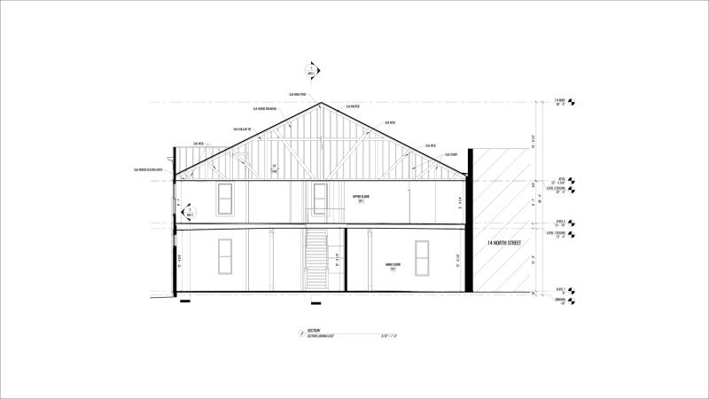
With point clouds, you can view every detail of a space in a 3D model. This helps architects, engineers, and contractors understand complex structures without relying solely on 2D drawings.
Cost and Time Efficiency
With their rapid and automatic data processing, point clouds save countless hours throughout the project lifecycle. Combined with their automated generation techniques, which drastically reduce labor costs, their product ultimately becomes scalable across vast areas.
Better Collaboration
Sharing point cloud data allows teams to work together seamlessly. Everyone has access to the same detailed information, which improves communication and reduces misunderstandings.
Point cloud technology has been a revolutionary advancement in the field of architecture and construction. It improves precision and advances the design faster. With its accurate real-world data, you can easily and quickly generate rich 3D models to save time and money. With this technology at your fingertips, no site is too complicated. Gain a competitive advantage by making point cloud data an integral part of your workflow.


